

About InGeoCloudS
What is InGeoCloudS?
A competitive and innovative infrastructure for data and services providers
From a scientific point of view, the rise of data both in quantity and in quality is not always accompanied by an equivalent increase in visibility, accessibility and sharing or better formal descriptions and standards. Data providers often face technical, human, financial and legal challenges.
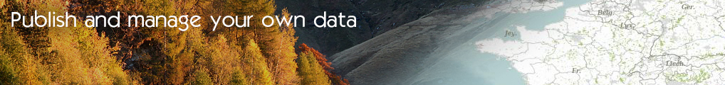
With its services for smooth data publication both in line with Open Geospatial Consortium (OGC) / INSPIRE recommendations and integrating formalised conceptual models, InGeoCloudS (INspired GEOdata CLOUD Services) proposes a solution to these challenges.
InGeoCloudS is an immediate and cost-efficient solution for self-serivce deployment of data and services on the Internet. Data providers keep full control on their data and on their operation costs.
Facilitating data publication and sharing

Many legal obligations make it mandatory to publish and share environmental information, yet few services are currently available to enhance the production of public records. The project (InGeoCloudS) kicked off in February 2012 to establish the feasibility of using a cloud approach for the publication and usage of geodata across Europe: seeking to leverage the economies of scale achievable for a multi-consumer consortium and assessing its ubiquitous availability both for geographically distributed end-users and for European institutions in the environmental field.
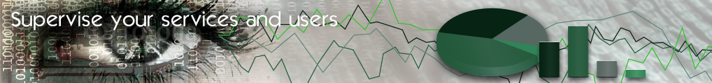
Cutting-edge architecture principles and technologies guarantee flexibility and visibility in the provisioning of those resources that data providers need for publishing and sharing their datasets.
A fully-featured and secured API, following RESTful principles allow to interact with the InGeoCloudS platform.
Conforming with INSPIRE...

The 2007 Infrastructure for Spatial Information in the EC (INSPIRE) Directive established rules for geographic and environmental data (geodata) supporting environmental policies or relating to any activities which might have an impact on the European environment. This Directive aimed to ensure that the geodata were consistently available, interpretable and usable across European regional and state boundaries. The consequence of the Directive is a requirement that geodata definitions follow agreed and established norms standards and that the data be readily available online. InGeoCloudS services intend to support data providers in fulfilling their obligations with regards to INSPIRE.
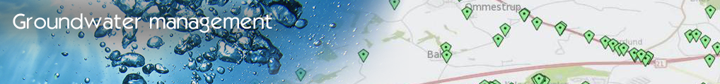
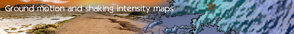
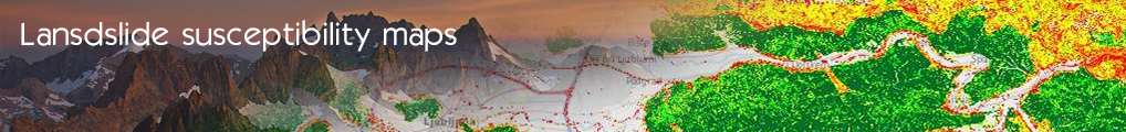
InGeoCloudS facilitate the production and configuration of INSPIRE-compliant Technical Services. Thanks to the already-implemented Use Cases, it also offers built-in INSPIRE data modeling facilities in the fields of groundwater management and geohazards (landslides prediction and shakemaps following earthquake events).
...and more

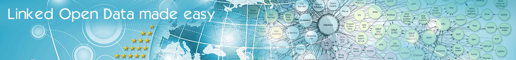
The InGeoCloudS infrastructure features Linked Open Data principles and technologies, making it easy for datasets to be searched, discovered and correlated from other Linked Data stores using standard Web protocols.
Why cloud computing?
From an IT resource management point of view, hardware and network resources have become a critical bottleneck and major cost item. Of the main characteristics of the Cloud, perhaps the most essential from the user viewpoint are:
- unlimited resources in terms of storage and computing power – it scales transparently and in a semi-automated manner, while offering up-to-date underlying technology
- and its pay-as-you-go/pay-per-use delivery model with potential reduction of traditional IT infrastructure costs.
In InGeoCloudS, data providers benefit from mutualised common resources and can keep an eye on the health and measurement of their own, specifically-procured, resources. Facilities for backing-up Geo databases and files, data Import and in-house/cloud synchronisation services help in gaining trust and confidence for any reversibility scenario.
- Log in to post comments
Last updates
Project's Calendar

Only for consortium members
Contact: you can contact the Consortium using the generic address: contact [@] ingeoclouds.eu. Thanks!
This project is partially funded by the European Commission CIP Program. This website reflects the views of the authors only, and the Commission cannot be held responsible for any use which may be made of the information contained therein.

InGeoCloudS Users Documentation and other documents of this Web
site by the InGeoCloudS consortium members
are licensed under a Creative Commons Attribution-NonCommercial-ShareAlike 3.0 Unported License.
Based on a work at http://www.ingeoclouds.eu/.
Ad banners and pictures are (c) AKKA Technologies