

Access Geo-Datasets
The InGeoCloudS platform will offer consumers a geodata access service directly related to the GeoPublication Service offered to data providers.
Once a data provider publishes data using the GeoPublication interface, the data become available to users for viewing and downloading as service. Depending on the provider’s choices, the data will be available with INSPIRE compliant services, accessible through OGC Web Services, available for viewing over map layers in combination with data from other sources etc.
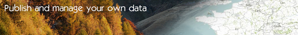
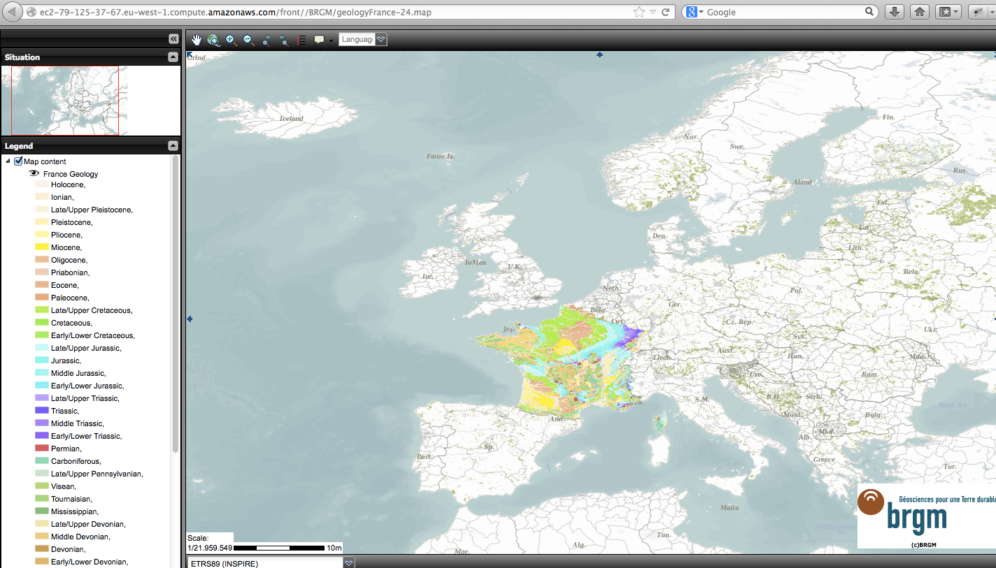
Besides, the interface also brings direct acces to the map : through the address of the web mapping page, access is given to a GIS interface to display all dataset and layers published by data providers.
French geological map provided by the interface for public access:
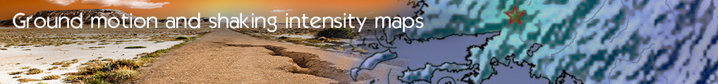
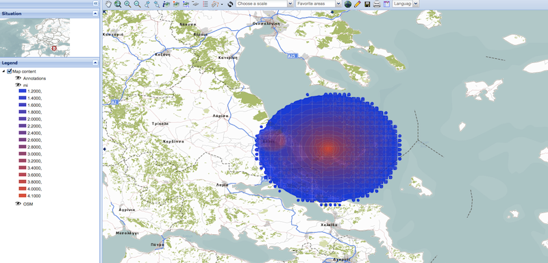
ShakeMaps in Greece
- Log in to post comments
Last updates
Project's Calendar

Only for consortium members
Contact: you can contact the Consortium using the generic address: contact [@] ingeoclouds.eu. Thanks!
This project is partially funded by the European Commission CIP Program. This website reflects the views of the authors only, and the Commission cannot be held responsible for any use which may be made of the information contained therein.

InGeoCloudS Users Documentation and other documents of this Web
site by the InGeoCloudS consortium members
are licensed under a Creative Commons Attribution-NonCommercial-ShareAlike 3.0 Unported License.
Based on a work at http://www.ingeoclouds.eu/.
Ad banners and pictures are (c) AKKA Technologies